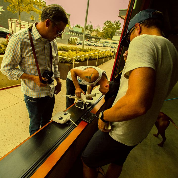


If you haven't been living under a rock, you may have noticed that drones are making their way into our lives in new ways.
At first we heard of them as a military tool, far removed from the daily lives of most of us. Later we heard about UAV enthusiasts buying or building their own drones, and we worried about how easy it would be for them to peek in on their neighbors.
Today, however, drones are far from a fringe hobby. They're finding themselves in a variety of commercial uses, being used by big businesses to get things done. Agriculture, construction, inspecting, surveying, and security are just a few of the practical purposes, besides all the more recreational, but still commercial, ways they're being used (like drone racing).
The ability to get a birds-eye-view on a landscape is extremely valuable, and that's why we're hosting the $100,000 Land Survey Automation Challenge. The contest: to disrupt the $15 trillion real-estate industry by coming up with a new, automated solution to the challenge of land boundary surveying. This is one of the most time-consuming and expensive parts of a commercial real estate transaction, and improving it will make the process vastly more efficient.
The challenge is already in progress, but check out how these companies are already working to solve this problem. Got inspiration?
DroneDeploy
DroneDeploy is a drone mapping app, which can be used with any drone. It offers the ability to automate flight plans, including take-off and landing, plus image capturing along the way.
The app has features geared towards a variety of industries: agriculture, construction, inspection, surveying, mining, and more. The surveying tools are pretty extensive, providing elevation and 3D models, real-time measurements, and other analyses.
The beauty of this system is the ability to automate flights, but the autopilot can be disabled for manual control at any time. Collaborators can share maps, comments, and annotations easily.
You can experiment with the app for free with limited features (which do including mapping and 3D processing) but the full range of features will cost a monthly fee.
DroneViewTech
DroneViewTech is a business-to-business company providing a service, rather than an app. They're composed of a diverse team of experts, from fields like surveying, aerial imaging, photogrammetry, civil engineering, GIS, and drone tech.
They offer UAV services for a variety of purposes - particularly aerial mapping and topography.
While airplanes have been mapping from the sky for a long time, drones can safely fly at lower elevations – around 25-400 feet – which means they can capture images of much better quality. Survey-grade photos can now be taken from the air, which can be rendered into 3D models.
DroneViewTech believes that drone surveying tech won't replace skilled human surveyors – instead, drones are tools that will make surveyors more efficient, giving them better information, faster. Their impact will be felt especially on projects of around 5 to 500 acres in size.
Airobotics
Airobotics offers the complete package: an industrial-grade drone, an airbase, and software. Takeoff and landing are completely automated, and it includes an easy interface that is quick to learn.
Their drone offers a cheaper, safer, and faster way to survey large construction sites. Mapping missions can be pre-defined or manually controlled, and, in addition to creating accurate orthophotos (scale-corrected photos) and terrain elevation maps, the software can handle a variety of other tasks like measuring quantities of on-site materials and site planning.
As you can see, this one isn't made for personal use. It's industrial-strength, made to withstand impact and weather. It even has an emergency landing parachute.
In addition to surveying, the Airobotics package also offers features like security (patrolling an area), inspection (examining structures for defects), volumetric analysis (measuring grain or counting cows), and emergency response (delivering medicine, supplies).
We're just beginning to see the impact that drones are having on the world. It seems like every few months, drones are being deployed in new industries, for new purposes. Wherever they go, they generally seem to make things more efficient (and a whole lot more futuristic).
Drones show a lot of promise when it comes to mapping and surveying, and we think they'll play a key role in the $100,000 Land Survey Automation Challenge. The registration deadline is over, but you can check out the progress being made by the teams involved to develop a system to make real estate transactions faster and easier, by automating one of the most tedious parts: the ALTA Land Survey.
Hopefully we'll be seeing some cool prototypes soon. Drones to the rescue!