Assemble, connect and download geographic data from the drone to obtain a 3D accurated representation of the surrounding terrain.
Your Submission
NOTE: you must submit AT LEAST a link to your storyboard in Mural or an upload of your storyboard as a PDF. You only need to submit one of these versions, but you may submit both if you are uncertain.
Please check the Resources Tab for the PDF template, if you choose to follow that route.
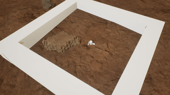
This storyboard is focused on getting a 3D representation of the Martian terrain. Even though there are already scans of the martian soil, it can be useful for the astronauts to get a more detailed scan of the zone where they will live. This scan can be done with the drone, for better accuracy. For this mission, the astronauts will need to build a structure to display the 3D hologram map that they will scan. To scan it, they will do it with the drone, flying at a certain altitude and taking some scans using the LIDAR system (or other techniques). This will then give a set of points scanned, that will need to be transferred to the map structure. There, a Digital Elevation Model (DEM) of the terrain will be created and displayed as an AR hologram.