


There was once a time, years ago, where consumers could use GPS (Global Positioning System). It just happened to be terrible GPS. The fleet of satellites that we use for navigation today was once a military system, conceived in the 1960s and used for decades to help classified missions. Eventually a consumer version became available, but at far less precision. Not so ideal for navigating around a foreign city.
This feature, known as selective availability, was deactivated in 2000 under orders from President Bill Clinton in 1996. And what an explosion of devices that led to. GPS units became available for cars and over time, even integrated into them. Hikers and boaters began using portable versions to explore the wilderness. And for years now we've even had GPS available for smartphones, meaning any pedestrian can now find their way.
The benefits are enormous, but these are all based on systems that can plot accuracy to a few feet. For mobile devices, there wasn't a way to track them more accurately ... until now.
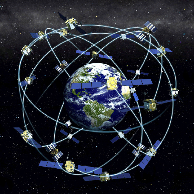
A GPS satellite constellation. Credit: NOAA
At least one group in the United States, at the University of Texas, is working on GPS that could plot your location down to the centimeter. According to The Independent, what his team has done is created a "powerful and sensitive software-defined GPS receiver" that can work even on the tiny, cheap antennas that are in mobile phones and similar devices. And here's an unexpected application: it could help with gaming.
“Imagine games where, rather than sit in front of a monitor and play, you are in your backyard actually running around with other players," lead researcher Todd Humphreys told The Independent. "To be able to do this type of outdoor, multiplayer virtual reality game, you need highly accurate position and orientation that is tied to a global reference frame.”
The technology comes at a time when virtual headsets are on the cusp of going big. The Oculus Rift is available to consumers and there are other virtual reality headsets available as well. With this kind of fun forthcoming, maybe the kids of a few years from now -- if they are still reading Harry Potter -- could play virtual games of Quidditch in the schoolyard.

Imagine how easy it would be to find stranded hikers with centimeter-level technology. Credit: Wikimedia Commons
The United States isn't alone in considering this technology; Japan also has some ideas for how to improve GPS. But regardless of who ends up making GPS more useful for consumers, imagine how awesome it will be to know where you are down to the accuracy of a coin.
For rescue workers looking for hikers caught by an avalanche, or for residents in an earthquake, the ability to know where you are exactly will be of help. GPS to this level of precision would make city navigation more reliable; think of the number of times the receiver is confused in a dense neighborhood, such as in Los Angeles or New York City. What do you think it could be used for?
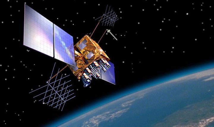
Top image: A GPS satellite. Credit: U.S. Government