Estonia is a little country that borders Russia and Latvia, just a little plane ride across the sea from Finland. Although it's not always named in "Top 10" lists of places to visit in Europe, the country is populous and has a thriving tourism industry.
It also turns out to be just a little bigger than advertised. Thanks to modern aerial surveys and laser scanning, cartographers discovered more than 800 islands that were not accounted for in previous surveys, which were done when the island was part of the Soviet Union.
The country thus added about 38.6 square miles (100 square kilometers) to its small size, which is a noticable addition when the country was previously considered to be 17,462 square miles (45,227 square kilometers).
Here's the thing, though: the process is by no means complete. As climate change echoes across the world, there will be changes in Estonian land mass that the cartographers will need to watch.
"The ground has risen in northern and western Estonia, and the changing water level, as well as storms, can also alter the coastline," said Agnes Jürjens, a representative from Estonia's Land Board, in a Postimees quote cited in The Telegraph.
Climate change is something that other nations are wrestling with; a National Geographic article points to Tuvalu. The country has only 10 square miles (26 square kilometers) of land, making it especially vulnerable to rising sea levels.
How best to combat rising sea levels? While policies and using your cars less are some of the tools, another one is to simply gather information. Luckily, drones have become even safer and cheaper in recent years, making them within the reach of small companies (or nations) looking to update their maps.
Let's hope that with this information, we can get a better idea of land use -- and update maps in other areas besides Estonia -- while protecting vulnerable nations from climate change. Have some ideas to help with this? Let us know by launching a HeroX challenge.
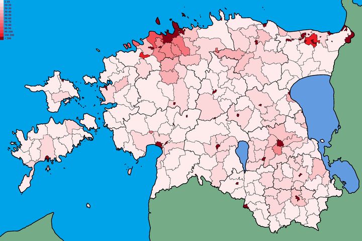
Top image: A map of Estonia by population density. Credit: Wikimedia Commons